Reality Capture
Reality Capture enables the quick, visual, and accurate documentation of any spatial situation.
Ask for more information
Reality Capture enables the quick, visual, and accurate documentation of any spatial situation.
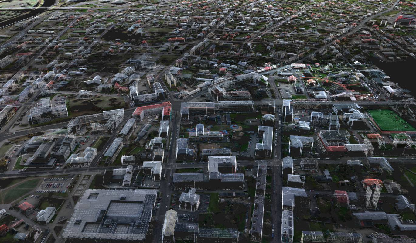
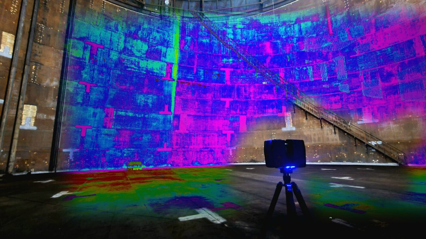
Ask for more informationTo achieve our goal in Reality Capture, we use different modern spatial data acquisition solutions – scanners, drones, and Lidars. New solutions enable to create an exact 3D copy of reality. The simplicity and comprehensibility of the 3D copy is comparable with the site itself.
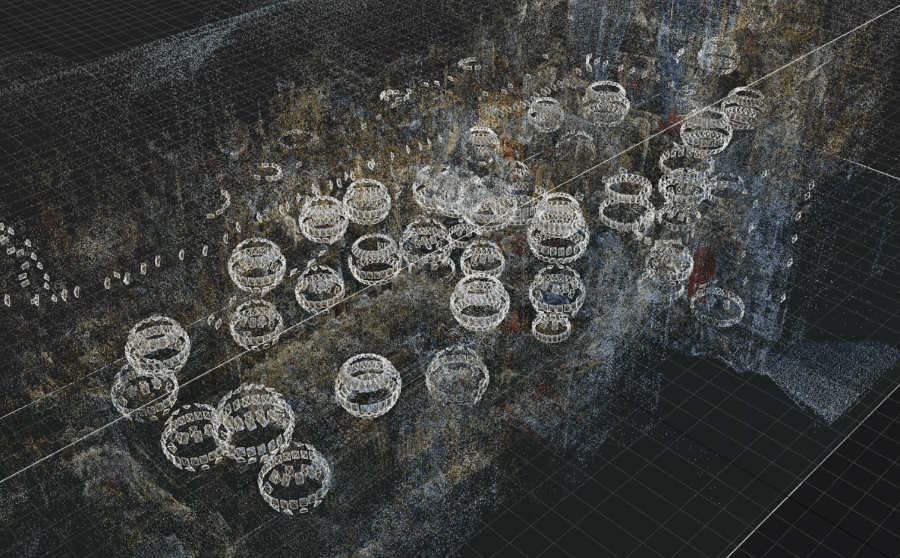
We will determine the most suitable technical solution based on the site and purpose. We use different aerial surveying solutions to survey large and small land areas. To digitise buildings and smaller land areas, we use 3D mobile and static scanners. We combine the work of several solutions for ditches and other low-lying sites – a smart device Lidar and photogrammetry. These technologies can also be combined to achieve the best needed result.
The three-dimensional scanning of the real situation and convenient software solution for data visualisation makes many works associated with construction much easier.
A lot of data from one site
After scanning, we will get a beautiful photo and exact 3D data from the site. A model is created from the 3D data, from which it is possible to see the length, width, and depth of the site.
Hard-to-reach sites
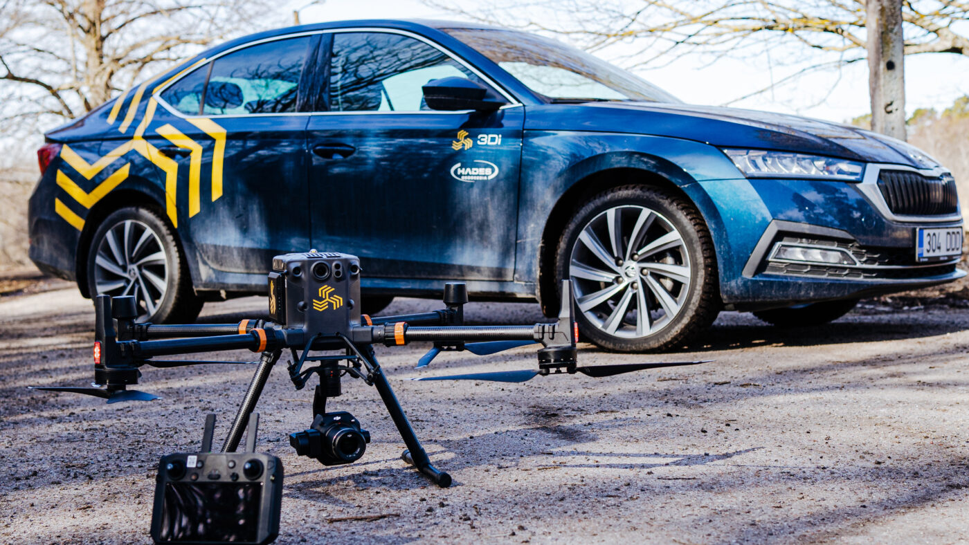
For hard-to-reach sites, we use drones as well as self-driving vehicles on wheels. These devices enable mapping sites which are dangerous for people or inaccessible.
Simplicity of data acquisition
Although it is a very complicated and technically demanding process, today’s smart devices already enable performing measurements. Anyone who can use a smartphone can also acquire data. That is as complex as it gets.
Reality Capture enables parties engaged in construction and other fields to offer their customers more value through spatial data. It is possible to digitally restore the spatial situation that existed at any point in time. It is possible to create 2D drawings or 3D models viewable in smart devices.

Reality Capture helps to map the planned environment accurately and quickly. You can also test the future environment by entering the planned sites into the realistic environment.

Reality Capture allows you to quickly obtain an accurate 3D model of the location in question. If required, we can also place 3D models of planned buildings on the site.

To make higher-quality spatial decisions for planning the urban space as well as the public space of rural areas, Reality Capture helps to create exact orthophotos or 3D point clouds. In addition, it is possible to monitor, for example: the condition of streets and roofs the wear and tear of lines, etc.

The role of Reality Capture during construction is capturing the real situation with 3D technology, what enables to assess the conformity of the building structures to the models later. We fix the situation and identify the differences comparing to the design.

During the construction process, the customer conveniently and quickly gets an overview of the fixed situation. It is possible to check whether the reality conforms to the design.

The owner of the construction site gets adequate and visual data in the desired form with the help of 3D measuring. From the data, it is possible to determine both the quality of the execution of the desired works and its conformity with the design.

Underground utility networks must often be covered with soil or any other bulk material. At the same time, the actual built situation is often poorly documented. Reality Capture helps to capture built situation quickly and easily and check the conformity of reality with the design later. If necessary, it is possible to make corrections and get true performance data.

Reality Capture is a fast and efficient way to capture different situations in detail – for example, to fix the position of covered pipes and cables.

Real estate administrators and owners get exact and detailed data about all utility networks and elements. This data enables to quickly identify both underground piping as well as wires behind the wall later.

In cooperation with the customer, the best and most efficient way for the Reality Capture to measure and save data will be determined. During the consultation, the necessary equipment and trainings will be chosen and a further schedule will be drawn up.
The participation of geodetic surveyors is not always necessary for capturing 3D data. The object team can handle the collection and saving of data. In cooperation with your company, we train and instruct the personnel and make sure that the technical equipment is suitable. If necessary, we make changes and recommendations in the selection of equipment.
After data gathering we process the data to the agreed form and deliver the correct files quickly and easily to the required parties.