SiteView
SiteView is an online environment which enables getting a quick overview of the construction site, checking the quantities stored of materials, and comparing the design to reality.
Ask for more information
SiteView is an online environment which enables getting a quick overview of the construction site, checking the quantities stored of materials, and comparing the design to reality.
Ask for more informationSiteView allows:
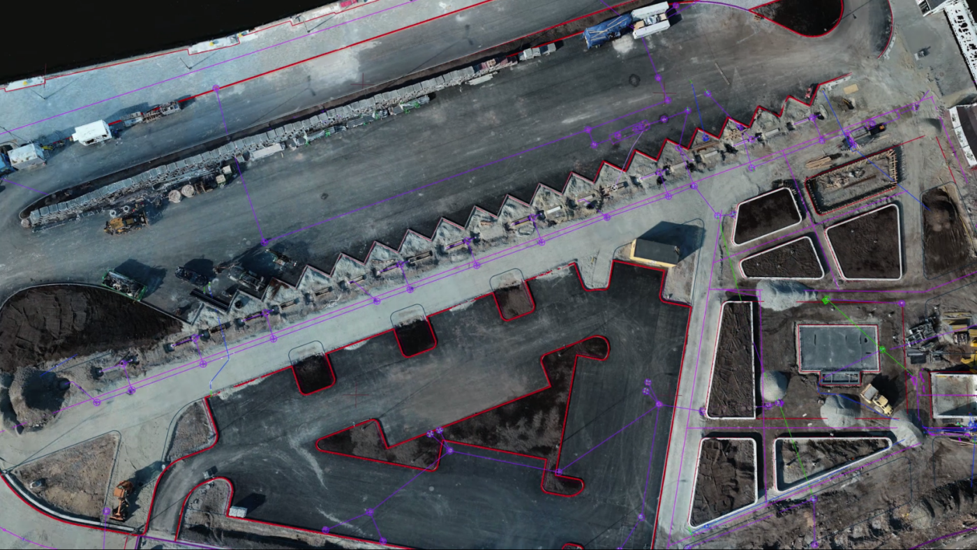
SiteView gathers different types of design and aerial survey data into one environment. With the help of the environment, it is possible to compare designs and reality, make control measurements, and calculate volumes.
SiteView allows comparing aerial surveys made at different times easily and conveniently. All changes are archived and documented throughout the whole area.
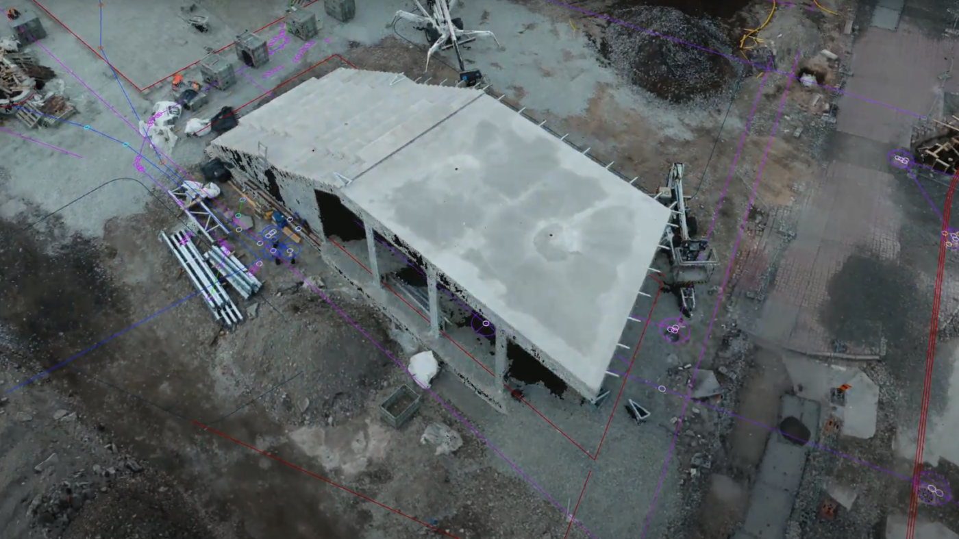
SiteView helps to track the progress on the construction site and check the conformity of completed works with the design. SiteView is a simple and fast tool for checking volumes for heaps and pits.

During construction, it is important to be sure that the performed work corresponds to the design. SiteView enables checking the performed work and archiving all data and changes.

Road constructors can check the amounts of stored materials, archive them, and monitor the activities on the construction site. Check the conformity of reality with the design and plan further activities.

SiteView allows checking amounts of stored materials and checking the conformity of the design with reality.

SiteView allows storing and visualising aerial survey data performed at regular intervals. It is possible to calculate the amounts of stored, transported, or mined materials and monitor the changes in their amounts over time, plan new roads, structures, or open storage plots, and to ensure safety on the site.

SiteView gathers all information about the outdoor area quickly and conveniently to the unified online environment. In the online environment, the suitability of the design can be compared with what has been built, all differences can be identified, and the actual situation archived.

First, the project data is entered into the online environment and the environment is customised according to the customer’s wishes.
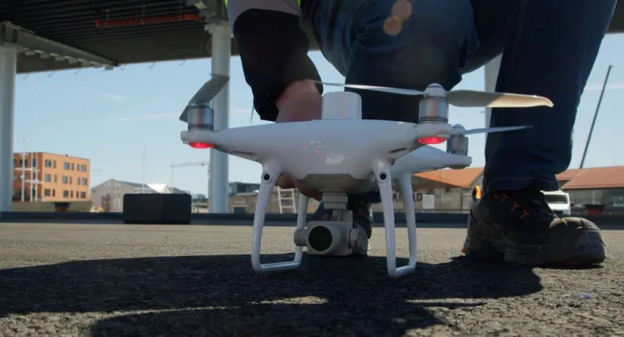
After that, the aerial survey will be performed. Surveys can be performed either by our drone operator or the customer’s team. Data will be processed and entered to the environment.
Survey data can be used for different purposes. The aerial survey data can be investigated and the results compared with the design. The data can also be used in different pieces of offline software.