Transparent Ground
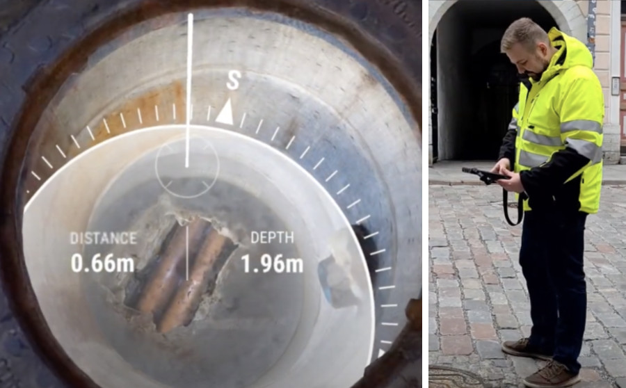
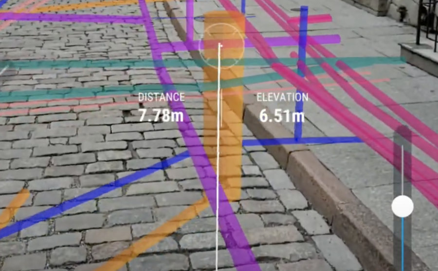
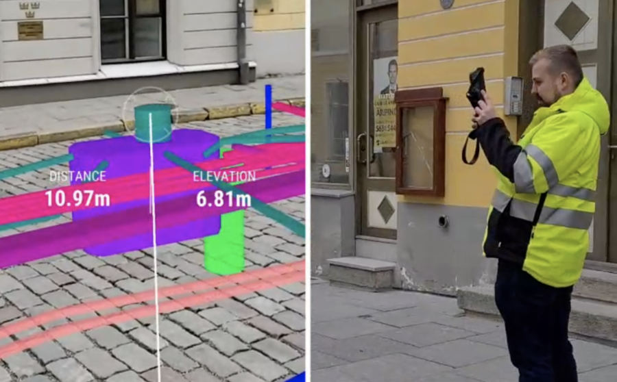
With the help of Transparent Ground, it is possible to view existing and future utility and communication networks directly through the ground.
Ask for more informationWith the help of Transparent Ground, it is possible to view existing and future utility and communication networks directly through the ground.
Ask for more information
Transparent Ground enables:
By integrating geolocation and utility network data/database, it is possible to see the underground utility network as if the ground were transparent. Data can be seen directly from the smart device. From the visualised data, it is possible to see the exact dimensions, depth, and other parametric data of the utility line.
Transparent Ground is useful for projects and tasks where speed, simplicity, and comprehensibility are of critical importance. Transparent Ground is useful, for example, in the management and maintenance of utility networks. Transparent Ground is necessary in the case of emergencies, where identifying the right utility line quickly and accurately is crucial. Transparent Ground helps to prevent the destruction of utility lines during excavation works and simplifies the construction of new utility lines.

It is important to act quickly and accurately in the event of accidents, renovation works, and unexpected situations. Accidents and renovation works cause great inconveniencies to the residents of the surrounding area, such as noise, detours, and water interruptions. An accurate, quick, and generally comprehensible understanding of the situation is crucial for the successful implementation
of the project.

Understanding the utility networks surrounding the problematic area helps to decrease and prevent breaking utility lines. Transparent Ground helps to prevent mistakes occurring during the work process, as such mistakes often turn out to be costly and time-consuming.

Utility and communication lines built underground are mainly measured, but on site, the clear and visual overview is missing. Transparent Ground enables to see location of existing and planned underground utility lines simultaneously already before excavating a trench.

To conduct maintenance and administration works, the utility networks must first be identified, which is often complicated due to snow, the landscape, or the surrounding situation. In addition, the additional information about the utility network is vital: the owner, progression, connections, etc.

Transparent Ground enables to easily explain the location of existing and planned utility lines to all parties involved in the project. Transparent Ground decreases the number of misunderstandings, helping to create smooth cooperation between administrators and the executors of the works.

Better communication between office and construction site. With the help of Transparent Ground finding of data about the utility network and utility network itself becomes multiple times easier. Decreases the number of errors and damages. Decreases the number of misunderstandings.

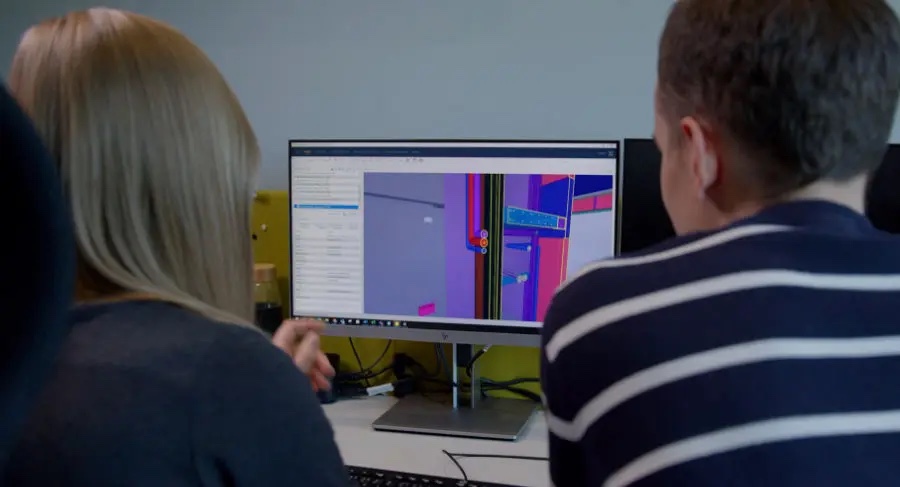
The application is merged with the existing or newly created database. Both 2D and 3D data is suitable.
Next, access is granted to the required devices and user rights are set. Then, it is possible to use Augmented Reality (AR) solution on all devices.
It is possible to make corrections to data through the application if it is identified that the data does not correspond to reality. It is also possible to add geo-referred comments, new elements, and additional data.