WMS
With WMS, you can distribute high-resolution orthophotos and other necessary layers to various parties.
Ask for more informationWith WMS, you can distribute high-resolution orthophotos and other necessary layers to various parties.
Ask for more information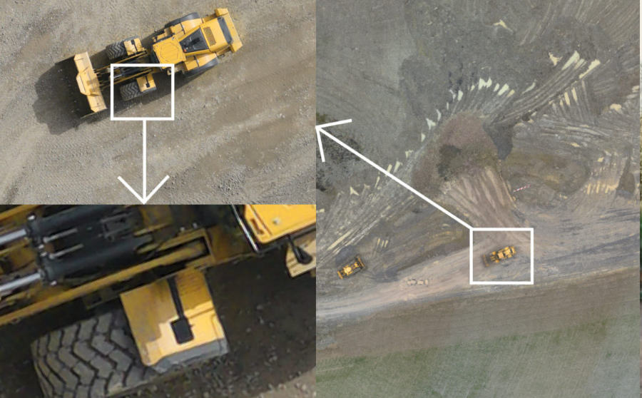
With WMS, you can distribute high-resolution orthophotos and other necessary layers to various parties. All data is saved to a data cloud which enables you to conveniently distribute the necessary data to all parties. Data can be seen either from a computer, smartphone, or a tablet.
Accurate, georeferenced data collected from the flyover will be uploaded to the WMS server room. With the help of WMS, it is possible to deliver orthophotos, height maps, point clouds, and mesh models. Information in WMS can, in turn, be used for different purposes.
WMS is beneficial in administering and distributing aerial survey data. WMS is especially beneficial for projects where data must be distributed between many parties.
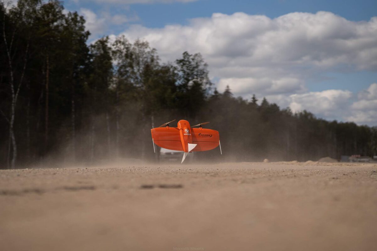
Aerial surveys covering large land areas generate a large amount of data. There is often no capable, user-friendly, and convenient tool for transferring and administrating data. WMS was created to solve this problem.

It is reasonable to map the construction of large road sections and traffic junctions with an aerial survey. The areas are large and the situation changes constantly. At the same time, WMS helps to display information for the needed input from new aerial survey data. As surveys are carried out regularly, the process can be monitored at suitable time intervals.
Check the works performed comfortably and regardless of the weather!
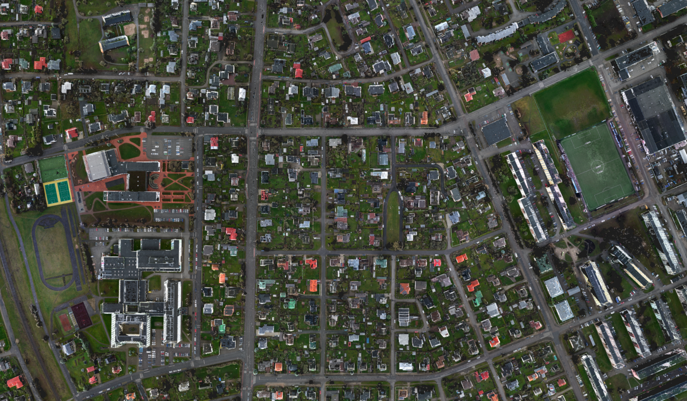
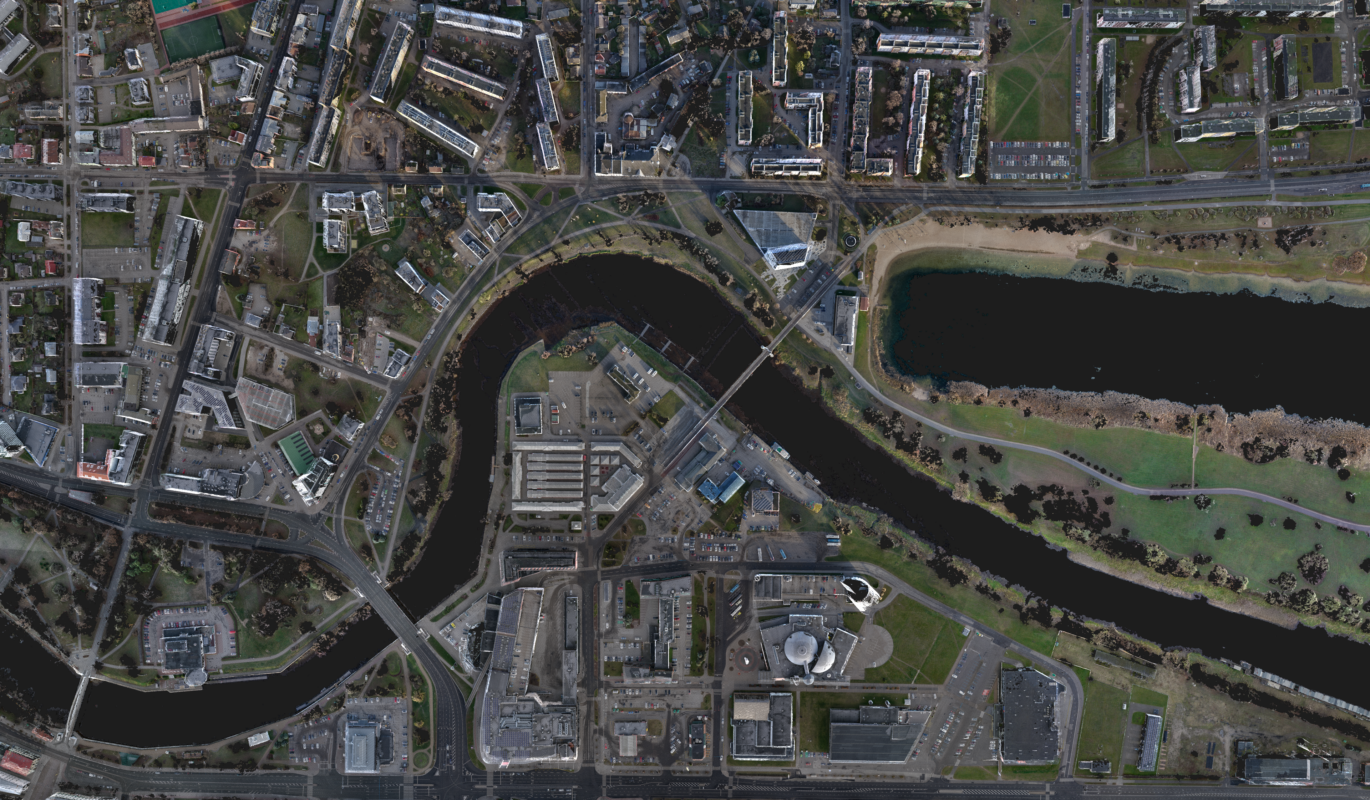
Using detailed spatial data increases the quality of future buildings and planning the new living environment. At the same time, spatial data helps to introduce new projects to the general public as well as to customers.

By using spatial data, architects and planners can better understand the impact of buildings to the surrounding environment. In addition, the data helps to better understand the problems associated with the site (traffic, accessibility, storage of materials, etc.). The data is detailed and accurate and much more informative than conventional geodetic base plan or a photo of the Land Board.

Detailed spatial data gives a good overview about what is happening in the administrative area of the local government. Data helps to make better decisions about new plans and development programmes. At the same time, data helps to plan future activities and research information about previous years.
KAs WMS is all about the transfer/storage of data, it fits perfectly with our other products. Therefore, in the case of WMS, we always start with a consultation to find a complete solution that meets the customer’s wishes.
The process presumes three stages:
Our advantage is the introduction of many new technological solutions, through which we can offer a tailored solution. Therefore, in the case of WMS, we always start with a consultation.
Often, the processes connected with georeferenced data arrays, are time-consuming and need a professional approach. Our goal is to simplify the use of data for you in a way that saves your money and time.